Anchorage geophysics addresses the unique challenges of glacial geology, permafrost, and high seismic hazard. Our surveys map subsurface conditions beneath Cook Inlet basin silts, outwash gravels, and Bootlegger Cove Formation clays, directly supporting ASCE 7-22 site classification per Municipality of Anchorage code. [Ground penetrating radar](ground-penetrating-radar) delineates utilities, rebar, and shallow stratigraphy, while [shear wave velocity](shear-wave-velocity) testing via MASW delivers the Vs30 values essential for seismic design categories.
These methods are integral to structural design, infrastructure resilience, and geohazard assessment. [Electrical resistivity](electrical-resistivity-ves) imaging helps identify thaw zones and groundwater pathways beneath foundations and roadways, complementing velocity data. Our integrated approach ensures reliable data for engineers and regulators throughout the Anchorage Bowl and Eagle River.
Geophysics in Anchorage addresses the unique subsurface challenges of Southcentral Alaska, where glacial history, seismicity, and discontinuous permafrost define ground conditions. Our services support site characterization by mapping bedrock depth, soil stratigraphy, and potential hazards such as faults and thaw-sensitive sediments. Local projects must comply with Municipality of Anchorage geotechnical codes and often reference Alaska-specific guidance from the Alaska Department of Transportation & Public Facilities. A comprehensive geophysical program typically begins with a desktop study and field reconnaissance, followed by targeted methods that complement direct exploration techniques like the geotechnical investigation and the Cone Penetration Test (CPT) to optimize borehole placement and reduce overall investigation costs.
Field methodology relies on non-invasive and minimally invasive techniques performed in accordance with ASTM International standards widely adopted across the United States. Common approaches include seismic refraction and multichannel analysis of surface waves (MASW) for shear-wave velocity profiling, electrical resistivity tomography for permafrost and groundwater delineation, and ground-penetrating radar for shallow utility and void detection. These methods are calibrated with direct measurements from Standard Penetration Test (SPT) borings and In-Situ to produce defensible engineering parameters. All data acquisition follows ASTM D6429 for surface geophysics, ASTM D5777 for seismic refraction, and ASTM D6431 for resistivity imaging, ensuring results meet Anchorage review agency expectations and support Seismic Site Class determinations per ASCE 7.
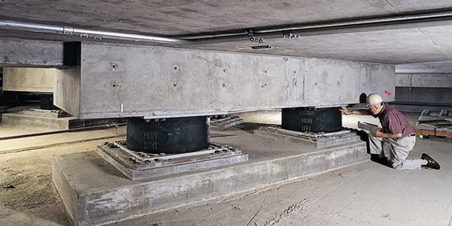
Typical Anchorage projects demand an integrated geophysical approach. Transportation corridors crossing the Bootlegger Cove Formation and alluvial fans require shear-wave velocity profiles for liquefaction assessment and seismic design. Commercial developments in Eagle River and midtown Anchorage utilize resistivity and GPR to map fill thickness and ice-rich soils before foundation design. Infrastructure projects near the Knik Arm often combine marine seismic reflection with land-based field density testing to verify engineered fill and riprap placement. In each case, geophysics reduces the number of intrusive tests, targets anomalies for direct sampling, and provides continuous subsurface coverage between boreholes, which is critical in the laterally variable glacial and estuarine deposits underlying the Anchorage Bowl.
A standard geophysics scope delivers a calibrated ground model through a phased workflow: pre-field planning and utility clearance, field data collection with daily quality control, advanced processing and inversion, and integrated interpretation with geotechnical logs. Final deliverables include 2D cross-sections, velocity or resistivity contour maps, and a concise engineering report with design recommendations aligned with AASHTO and IBC requirements. The primary value for Anchorage stakeholders is a clearer understanding of subsurface risk—from fault rupture and liquefaction to ice-rich permafrost degradation—enabling safer, more cost-effective foundation and earthwork designs while satisfying the geotechnical review standards of local building officials.